Aquatic Ecosystems in the Lake Hazen Watershed
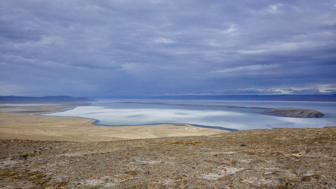
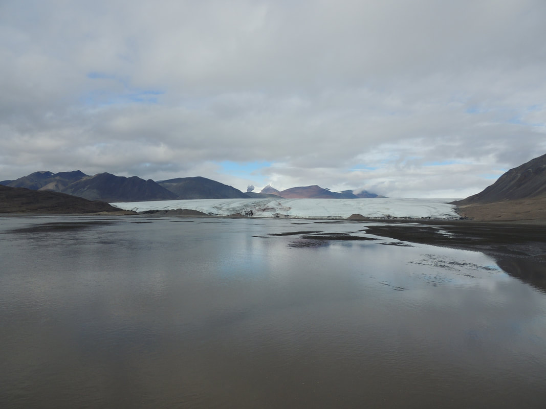
At the heart of the Lake Hazen watershed sits Lake Hazen itself, the world's largest lake by volume (51.4 cubic km), entirely above the Arctic Circle (66N). Lake Hazen is fed by approximately 11 glacier-fed rivers, as well as an unknown number of small ponds and wetland complexes (see Skeleton Lake Sub-Watershed as an example). To the southeast of Lake Hazen along the Hazen Plateau sits Craig Lake and its outflow, Salor Creek. Lake Hazen is singularly drained by the Ruggles River to the eastern coast of Ellesmere Island.
Lake Hazen
|
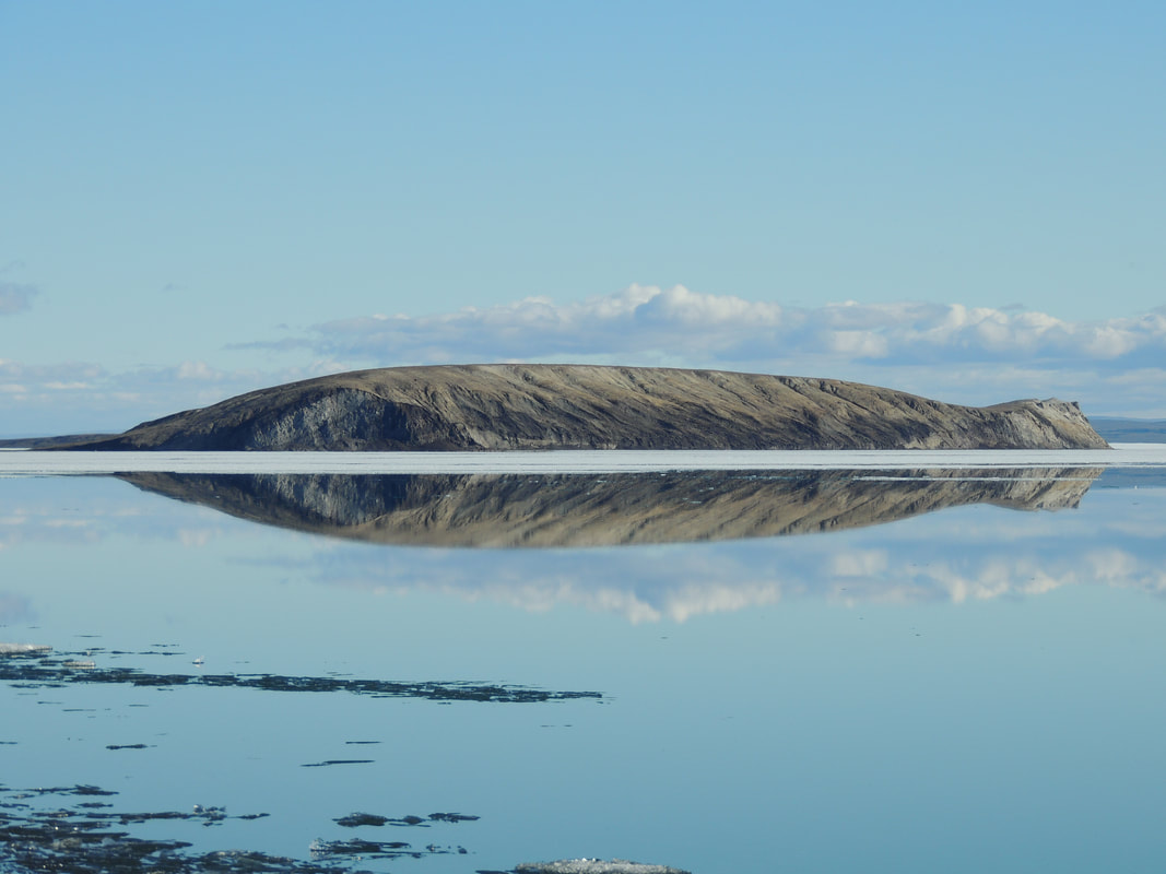
At 544 sq. km and with a maximum depth of 267 m, Lake Hazen qualifies as one of the world's large lakes (Herdendorf, 1982). Lake Hazen is 267 m deep at its deepest point, located just northeast of the northern tip of John's Island (Köck et al. 2012). Whereas the lake rarely went ice free even 50 years ago, the lake now goes ice free almost annually between late July and early August, with ice only reforming on the lake beginning in mid- to late September (Lehnherr et al. 2018).
The lake is ultra-oligotrophic. In-lake productivity is extremely low, even at the height of summer (McLaren 1961). The lake is home to a singular fish species, landlocked Arctic charr (Salvelinus alpinus), of which several morphs inhabit the lake (Reist et al. 1995). |
Glacial Rivers
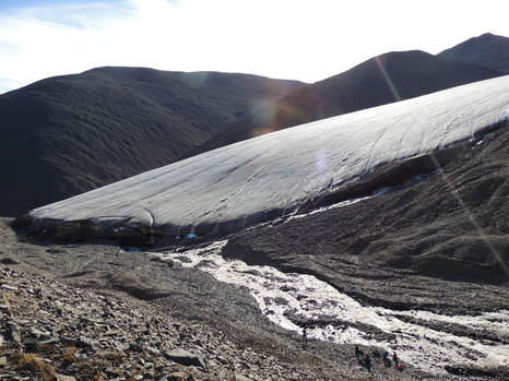
Approximately 11 rivers drain the outlet glaciers of the Northern Ellesmere Icefield and flow into Lake Hazen along its northwestern shore. Glacial melt is by far the dominant annual hydrological input to Lake Hazen, accounting for more than 90% of total hydrological inputs in warm, high melt years.
Very River
|
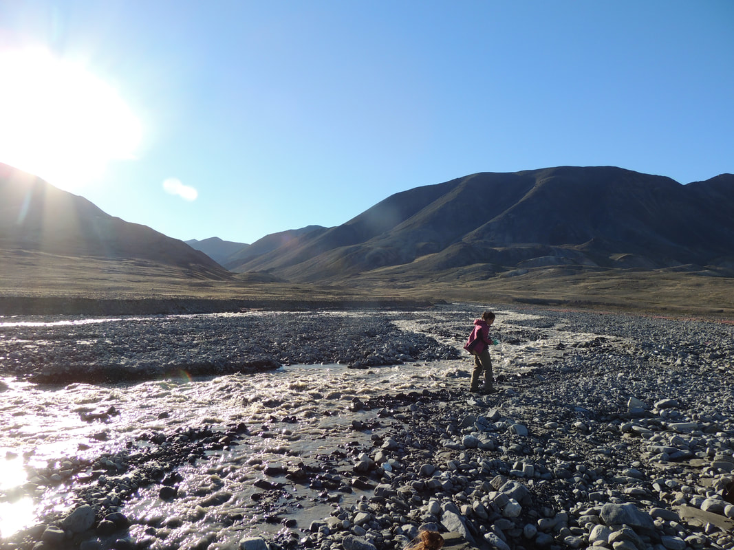
The Very River is located at the southernmost tip of the Lake Hazen watershed, directly adjacent to the Adams River. At its delta, the river is wide, slow moving, and warm (temperatures of up to 13C recorded at the inflow to Lake Hazen).
*Fine, clayey sediments at the delta - rubber boots highly recommended. |
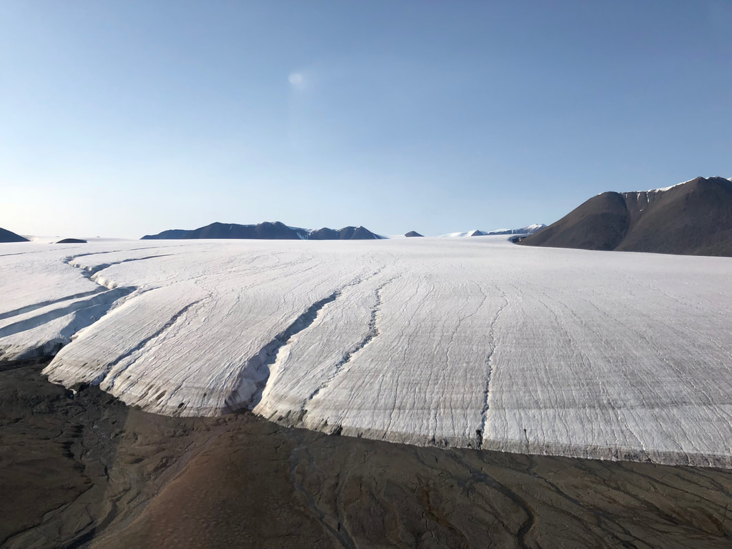
Henrietta Nesmith Glacier and River
|
At more than 1000 sq. km, the Henrietta Nesmith Glacier is the largest within the Lake Hazen watershed. Named after Lt. Adolphus Greely's wife, the glacier is the closest to the shoreline of Lake Hazen, located only ~4.6 km upstream. In high melt years, the entirety of the river delta, from the glacier terminus to Lake Hazen, is flooded. Fossils (unknown age) are found across the delta.
|
Blister Ice Cap and Creek
Bridge Glacier
|
Blister Creek delta at Lake Hazen
|
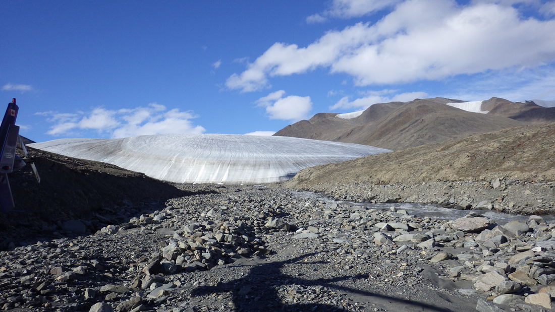
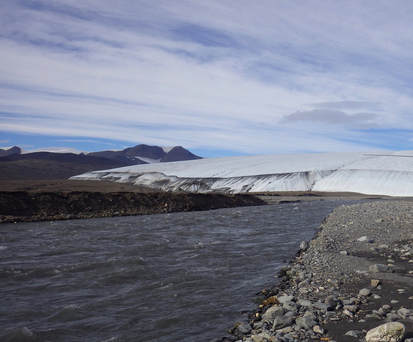
Within easy hiking distance (just southwest) from Lake Hazen Camp, the Blister Ice Cap and resultant creek are the smallest of the glacier-fed tributaries flowing into Lake Hazen. Blister Creek is fed by the Bridge and Arrow Glaciers, outlet glaciers of the Blister Ice Cap. Unlike most of the other glacial rivers flowing into Lake Hazen, the Blister Ice Cap is (now) entirely separated from the Northern Ellesmere Icefield.
Hiking times/distances:
From camp to Blister Creek inflow to Lake Hazen: 30-45 minutes
Round-trip camp to Arrow and Bridge Glaciers: 28-30 km
Hiking times/distances:
From camp to Blister Creek inflow to Lake Hazen: 30-45 minutes
Round-trip camp to Arrow and Bridge Glaciers: 28-30 km
Snowgoose Glacier and River
|
|
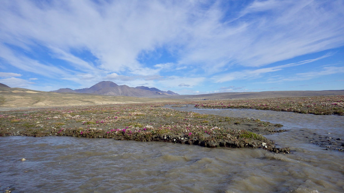
The Snowgoose River, fed by the Snowgoose Glacier, is also within easy hiking distance of camp. While still one of the smallest glaciers within the watershed, its proximity to Lake Hazen camp makes it a reasonable analog for the larger glacial systems (compared to Blister Creek). At the peak of summer, the delta is covered in pink-purple fireweed as far as the eye can see. In high melt years, there may be some convergence of the delta braids with those of the adjacent Abbé River.
Hiking times/distances:
From camp to Snowgoose River inflow to Lake Hazen: 45-60 minutes.
From camp to Snowgoose Glacier: 2-3 day round trip hike.
Hiking times/distances:
From camp to Snowgoose River inflow to Lake Hazen: 45-60 minutes.
From camp to Snowgoose Glacier: 2-3 day round trip hike.
Abbé Glacier and River
The Abbé Glacier and resultant river are located just north of the Snowgoose system. In recent years, permafrost slumps and the exposure of ground ice deposits have become increasingly prevalent features along the river.
*Fine, clayey sediments at the delta - rubber boots highly recommended.
*Fine, clayey sediments at the delta - rubber boots highly recommended.
|
|
Gilman Glacier and River
|
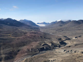
The Gilman Glacier is the second largest in the Lake Hazen watershed and where some of the seminal research during the International Geophysical Year (1957-58) took place. The river cuts through geologically interesting terrain, traversing a large unconformity and with noteworthy coal deposits at the river delta.
|
Turnabout Glacier and River
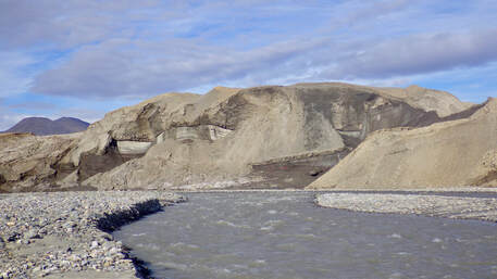
Located at the northernmost tip of Lake Hazen is the Turnabout Glacier, named thus after the long, meandering path that its resultant river follows. Numerous (some large) permafrost thaw slumps occur along its river banks, a distinguishing feature from many of the other glacial rivers within the watershed. Two rivers actually drain the Turnabout Glacier, but only one (the southernmost) flows into Lake Hazen.
Turnabout Glacier
|

Permafrost thaw slumps along the Turnabout River
|
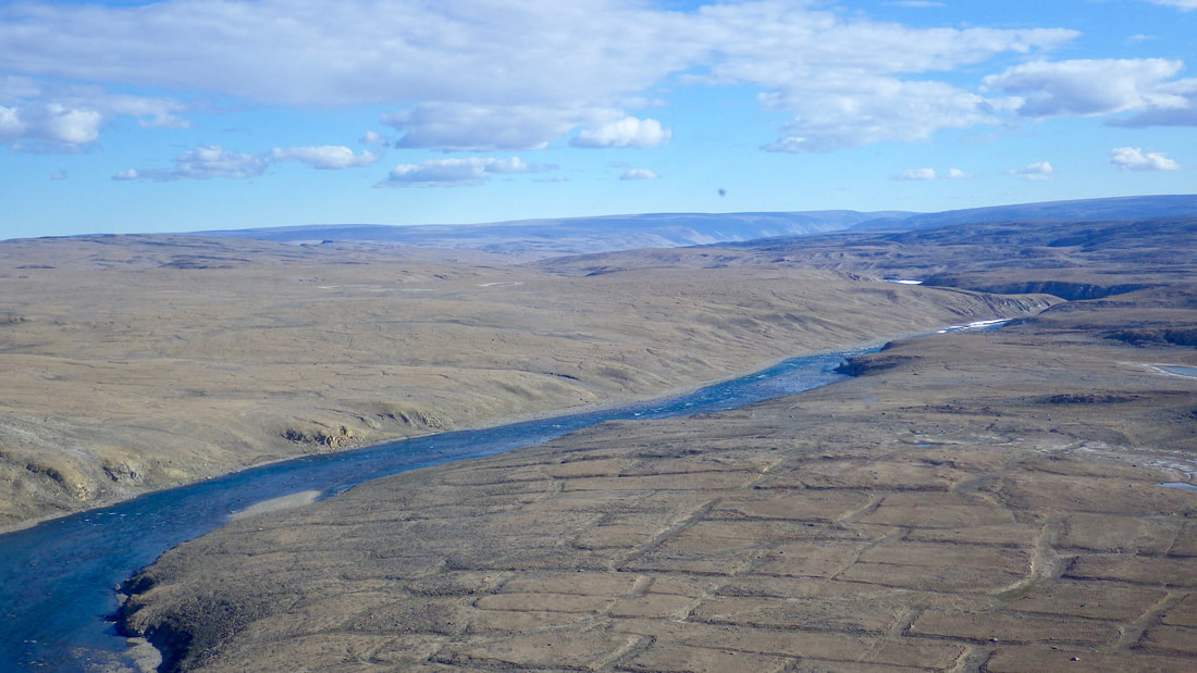
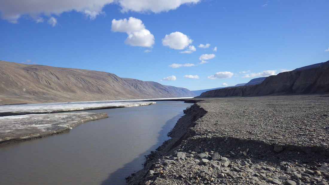
Ruggles River Outflow
|
The Ruggles River flows year round ~29 km through the Hazen Plateau from Lake Hazen to Chandler Fjord along the northeastern coast of Ellesmere Island. Lake Hazen is the primary source of water to the Ruggles River, with few other inflows along its length. Although discharge to the river was continuously monitored from 1996-2012 by Water Survey Canada, the record was patchy due to frequent sensor failure at this remote location and discontinued. Water level, however, continues to be monitored. While the water is crystal clear at the outflow of Lake Hazen, channel erosion and permafrost detachments significantly increase the turbidity of the waters downstream of the lake. The length of the Ruggles, combined with its velocity at the peak of summer melt, and the presence of aufeis are believed to impede the movement of arctic charr (Babaluk et al. 2001).
Human use of the Ruggles River has been longstanding with several protected historical sites, dating back to the Thule and polar explorers of the 19th and 20th centuries, located in close proximity to the river. |
