The Skeleton Lake Sub-Watershed
The Skeleton Lake sub-watershed is a non-glacial watershed in the Lake Hazen region. The sub-watershed has a seasonal flow regime, fed by snowmelt runoff beginning in early- to mid-June, and mid- to late-season groundwater inputs from active layer seeps, with flow cessation in late-August to early-September during freeze up. In the Skeleton Lake sub-watershed, water flows through a small lake, ponds, a wetland, and a tundra creek channel resulting in a landscape that promotes biogeochemical transformations as water moves from the terrestrial environmental, downstream into Lake Hazen (France, 1993).
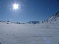
Skeleton Valley in May
|
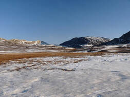
Skeleton Valley at snowmelt onset (June)
|
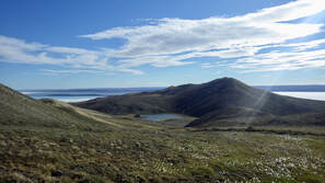
Skeleton Valley in summer (July)
|
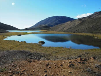
Skeleton Lake
|
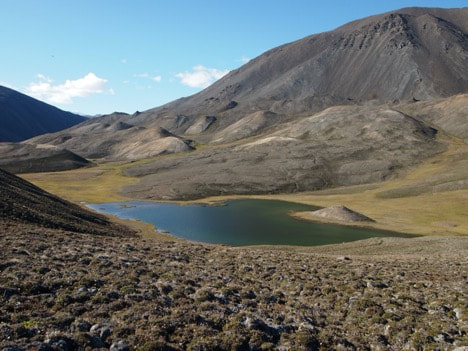
Skeleton Lake is approximately 2.5 km upland, on the north side of the Lake Hazen basecamp. It is situated 296 m above sea level within a wetland valley between Blister Hill (400 m altitude) to the south, McGill Mountain (1100 m altitude) to the northwest, and a pingo formation along the north shoreline. Skeleton Lake is a small, shallow permafrost thaw lake has a surface area of 1.93 ha and a maximum depth of 4.65 m. Skeleton Lake is surrounded by several types of mosses and lichen (Soper & Powell, 1985), and abundant cyanobacterial mats along Skeleton Lake’s shoreline.
|
|
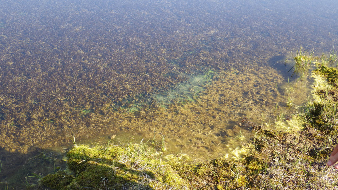
Wetland Ponds
|
The outflow from Skeleton Lake flows into two ponds (Pond 4 & 11, unofficial names), which are <1 m in depth and freeze to the bottom outside of the summer season.
|
|
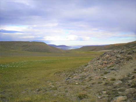
Wetland
|
Waters then travel through a wetland valley (2.9 ha) defined as a sedge/grass, moss meadow wetland (Walker et al., 2005) consisting of Carex, Eriophorum and graminoids (Edlund, 1994). The continuum has some channelized flow at the inflow of Skeleton Lake and throughout Skeleton Creek, however the wetland is often characterized by pooling and eventually downstream export of surface water.
|
|
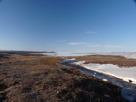
Skeleton Creek
|
Skeleton Creek is a ~800m tundra creek that channels water from the wetland complex into Lake Hazen along its northwestern shoreline.
|
|
Text and photos by Stephanie Varty
